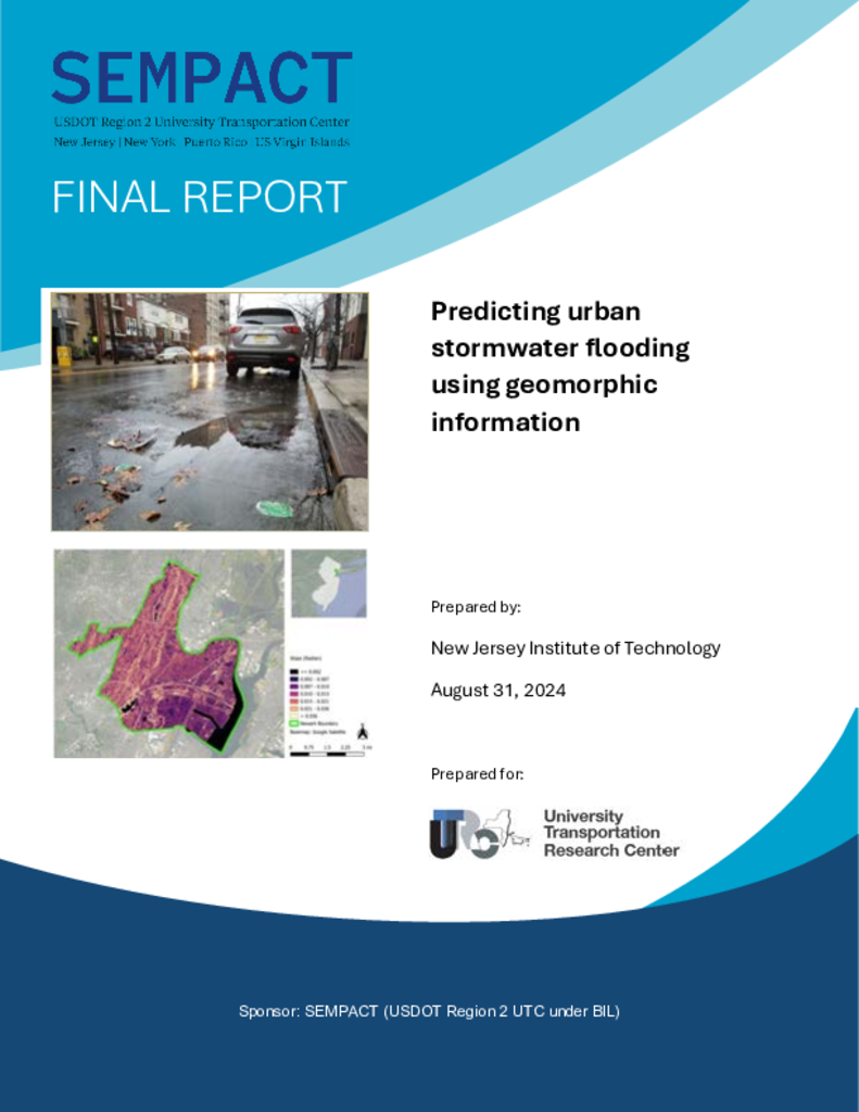
Stormwater flooding has emerged as a major challenge in urban areas due to its widespread and adverse impacts on transportation and the normal functioning of the economy. It can also cause loss of life. To predict the depth and duration of flooding at a specific locale, one could use the tools developed for river flooding (due to backwater). These include accurately mapping the terrain and running hydrologic software such as SWMM or HEC-HMS followed by hydraulic engineering software such as HEC-RAS. However, due to the high number of flooding locations, such a task is cost prohibitive. For this reason, we propose to develop empirical correlations that could predict the discharge and the depth of sheet flow and their durations based on easily measurable quantities, such as upslope, downslope, area, landuse, etc.. To obtain these correlations, we will select twenty archetypical sites in the City of Newark along with standard design storms to conduct the standard hydrologic modeling approach followed by hydraulic engineering calculations. We will then correlate various aspects of the hydrographs and water depths with the geomorphic factors stated above. We believe that such an approach, if successful, would allow rapid evaluation of flooding in Newark and other similar cities, such as New York City, and will thus allow contingency planning and appropriate allocation of transit resources.


