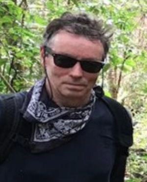
Prof. Ahearn is a Professor of Geography and Director of the Center for Advanced Research of Spatial Information (CARSI) at Hunter College – CUNY. He received his Ph.D. and M.S. in Environmental Remote Sensing in 1986 from the University of Wisconsin-Madison. His B.S. degree is from the College of Environmental Science and Forestry, SUNY, Syracuse University. He conducts research in both remote sensing and geographic information systems and has published in range of journals including: the IEEE Journal of Geo-science and Remotes Sensing, the International Journal of Remote Sensing, Photogrammetric Engineering and Remote Sensing, Conservation biology, Ecological Modeling, the American Journal of Epidemiology, International Journal of Geoinformatics and the International Journal for Geographic Information Science. His interests include agent-based models, spatial-temporal models, digital image analysis, ecological modeling, emergency response and urban geographic systems. As Director of CARSI, Prof. Ahearn played a major role in managing the design, development and implementation of the digital geographic base-map for the City of New York, called NYCMap, in the 1990s and early 2000. NYCMap was instrumental in enabling the City of New York to respond to the 911 crisis and CARSI helped manage the Geographic Information and Remote Sensing Systems and applications that were developed for response and mitigation to the crisis. His role was highlighted in the History Channel's "The Twin Towers: Rise and Fall of an American Icon" which has been featured a half dozen times a year since 2002. He is past president of the University Consortium for Geographic Information Science (UCGIS). He recently was appointed to the National Geospatial Advisory Committee (NGAC) by the United States Secretary of Interior. He was an expert witness in the Larry Silverstein World Trade Center Lawsuit (i.e. court preparation and deposition).


